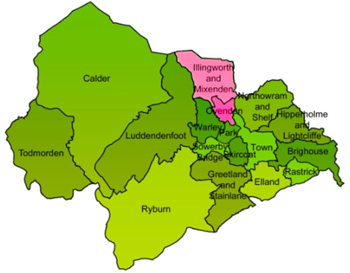
North Halifax comprises the combined areas of Ovenden ward and Illingworth and Mixenden ward.
Illingworth and Mixenden lies three miles from Halifax town centre. Much of it situated on elevated ground. Ovenden is just a mile north of the town centre and is predominantly residential. The A629 road, which connects Halifax to Keighley, is the primary access route for the area.
The northern part of North Halifax includes:
- Moorland.
- Scattered farms.
- Bradshaw village.
- A wind farm.
- Ogden Reservoir, an important recreational area.
- Three of Calderdale's secondary schools
- Industrial areas primarily along Shay Lane.
The southern part of the area encompasses the settlements of:
- Illingworth.
- Mixenden.
- Holmfield.
- Ovenden.
- Furness.
- Lee Mount.
- Wheatley.
Some residents strongly identify with their specific neighbourhoods. Many others use the term "North Halifax" to refer to the entire area, recognising its interconnected nature.